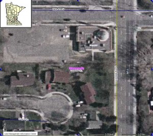
I made a very cool series of maps today, from 2008 to 1991. Well…making them in the loosest sense of the word. The GIS was already done and I just found the building that I needed (a mosque) for a couple of different years and then selected the layers that I wanted. The only tricky part came when I tried to print and save. They would not. So I ended up Print Screening and then Cut and Pasting from there.
If you are looking for maps of the Minnesota area checkout NorthStar Mapper at http://www.lmic.state.mn.us/chouse/northstarmapper.html and also the Minnesota Historical Aerial Photographs Online http://map.lib.umn.edu/mhapo/index.html

